

CONSTRUCTION, SURVEYING & COMMERCIAL
Licensed drone data for site progress, inspections and mapping. Ready to hand straight to a client or council.
Site progress reports, inspections and mapping all rely on one thing: accurate, dependable imagery.
Licensed drone operations mean data you can hand directly to a client, insurer or council with confidence, backed by consistent scheduling for ongoing projects and fast turnaround when decisions can't wait.
Accurate Data, Not Just Good Photos.

CONSTRUCTION & COMMERCIAL WORK
Take a look through recent projects below.

SITE PROGRESS
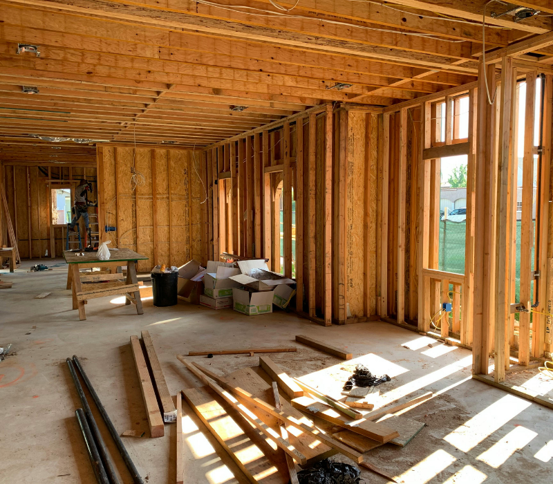
INSPECTION

MAPPING
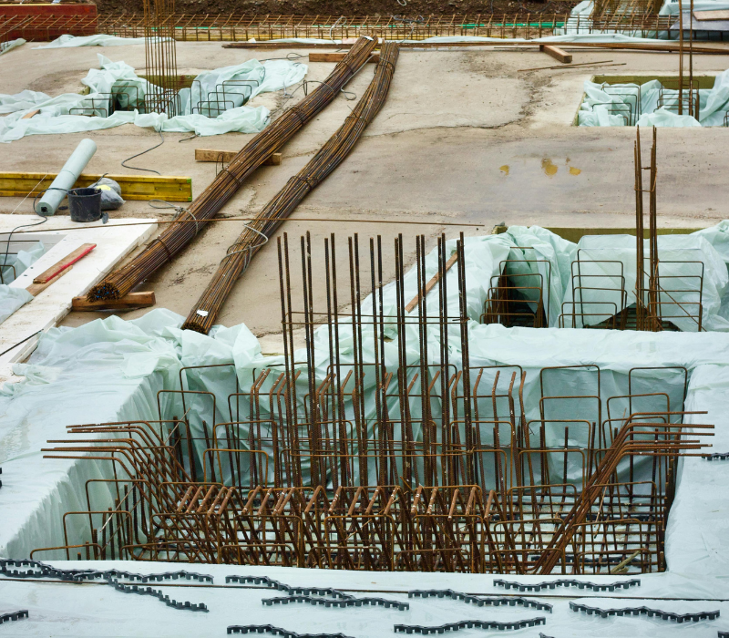
COMMERCIAL
Tell me about your project — location, scope, timeline & budget
I'll get back to you within 48 hrs with availability and a clear quote
GET A QUOTE
FOLLOW HORIZON ON SOCIALS